Early this year, Utrecht-based scientist Kim Cohen created a map for Vrij Nederland showing what the Netherlands might look like in 2300. Amsterdam has been consumed by the waves and transformed into a paradise for deep-sea divers. In Utrecht, only the Cathedral Tower and Hoog Catharijne shopping centre can been seen poking out of the water. The Veluwe region has become an island.
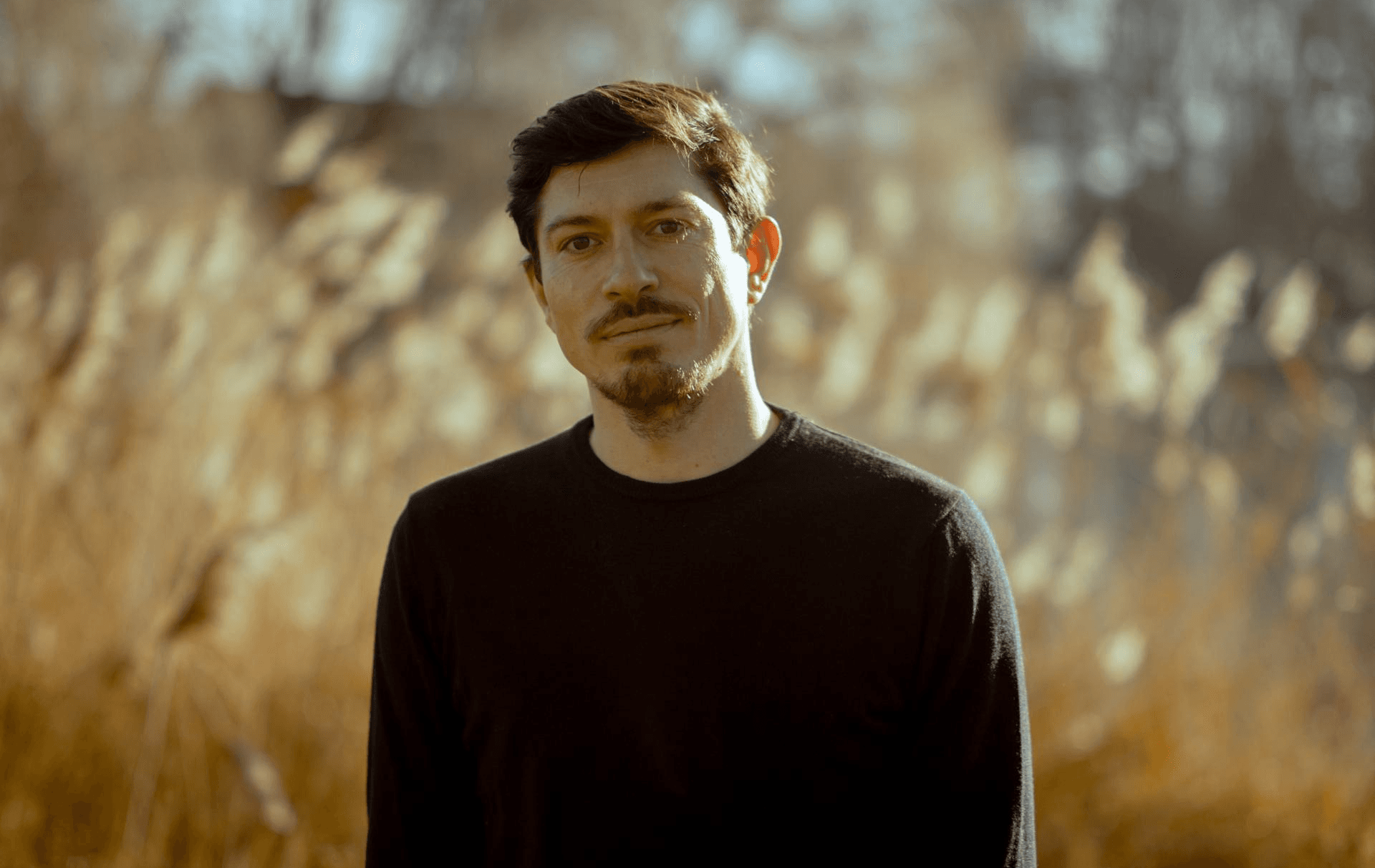
Henk Ovink: ‘By the time the Netherlands floods, we’ll have other problems’

Henk Ovink, the Netherlands’ special envoy for water, discusses how climate change will give rise to a complex set of problems. ‘It’s not so much the rising sea levels that will cause tensions in the years ahead, but the rising temperatures and geopolitics.’